Tropical Weather Events
Cruising Earth tracks tropical weather events using official storm data and live cameras along the storms path. Track and view the impact of these tropical weather events both active and past. Select a storm link below to view detailed storm data, landfall information, and live storm cameras if available.
Active Tropical Weather Events
Selecting an active storm below will take you to its live tracking page. On that page you will be provided the latest complete storm data, a projected landfall map with projected landfall time, and the current satellite imagery loop of the storm.

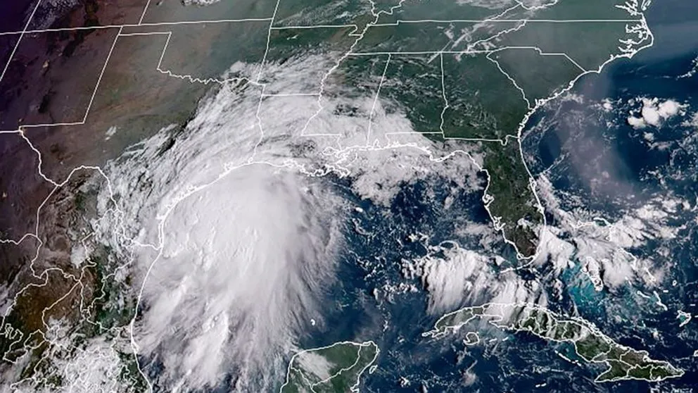
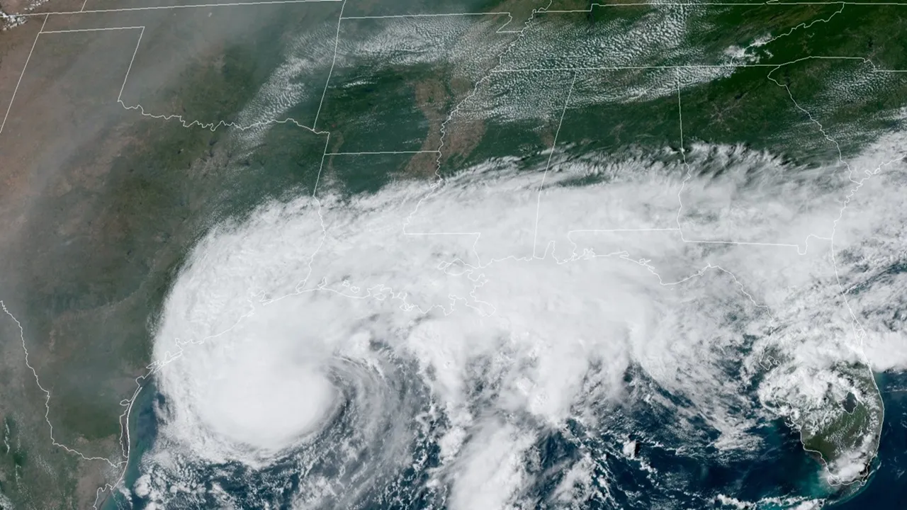
Cruising Earth is not currently tracking any active tropical weather events.
If you believe there is an active tropical event we should be tracking please report it: Contact Us
Past Tropical Weather Events
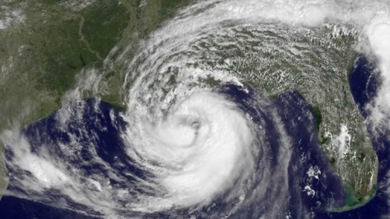
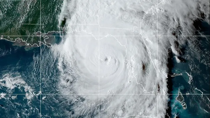
The storm categories and maximum winds shown below represent the highest intensity each past storm reached during its lifetime. Selecting to view a past storm below will take you to its historical data page where you will find landfall data, landfall location map, and historical satellite imagery at landfall. If the storm made multiple landfalls the final landfall data and imagery will be displayed.
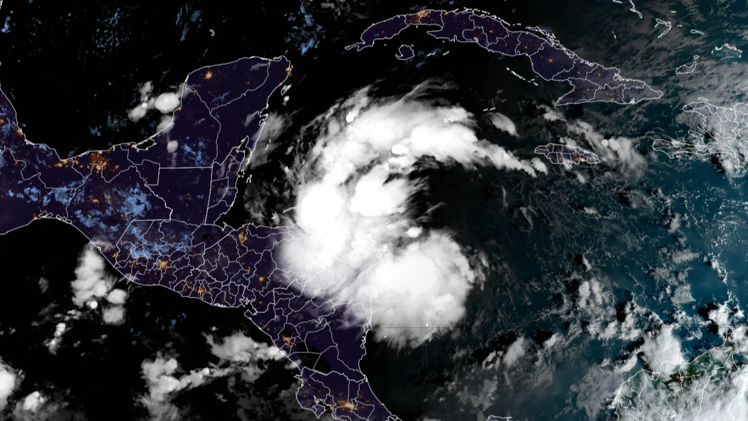
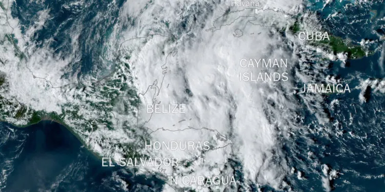
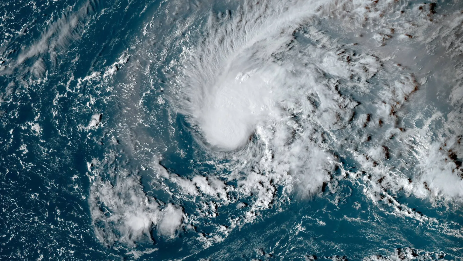
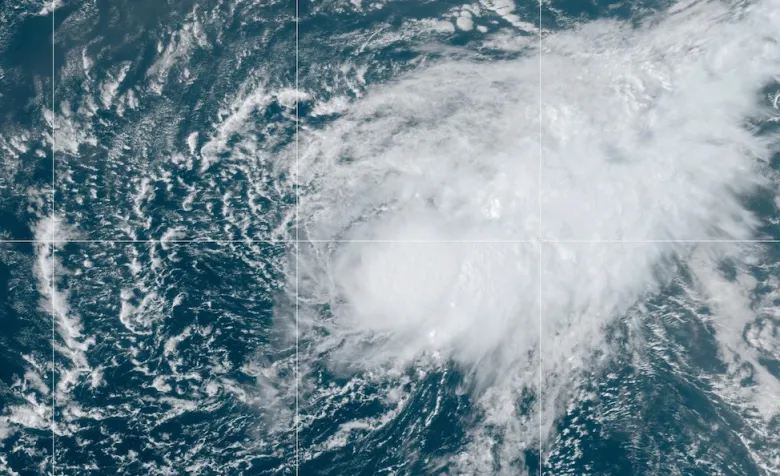
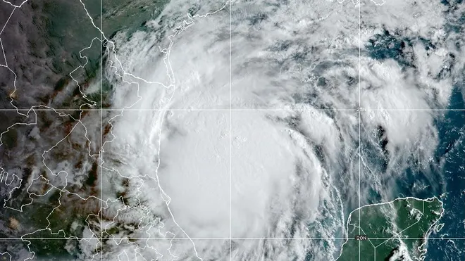
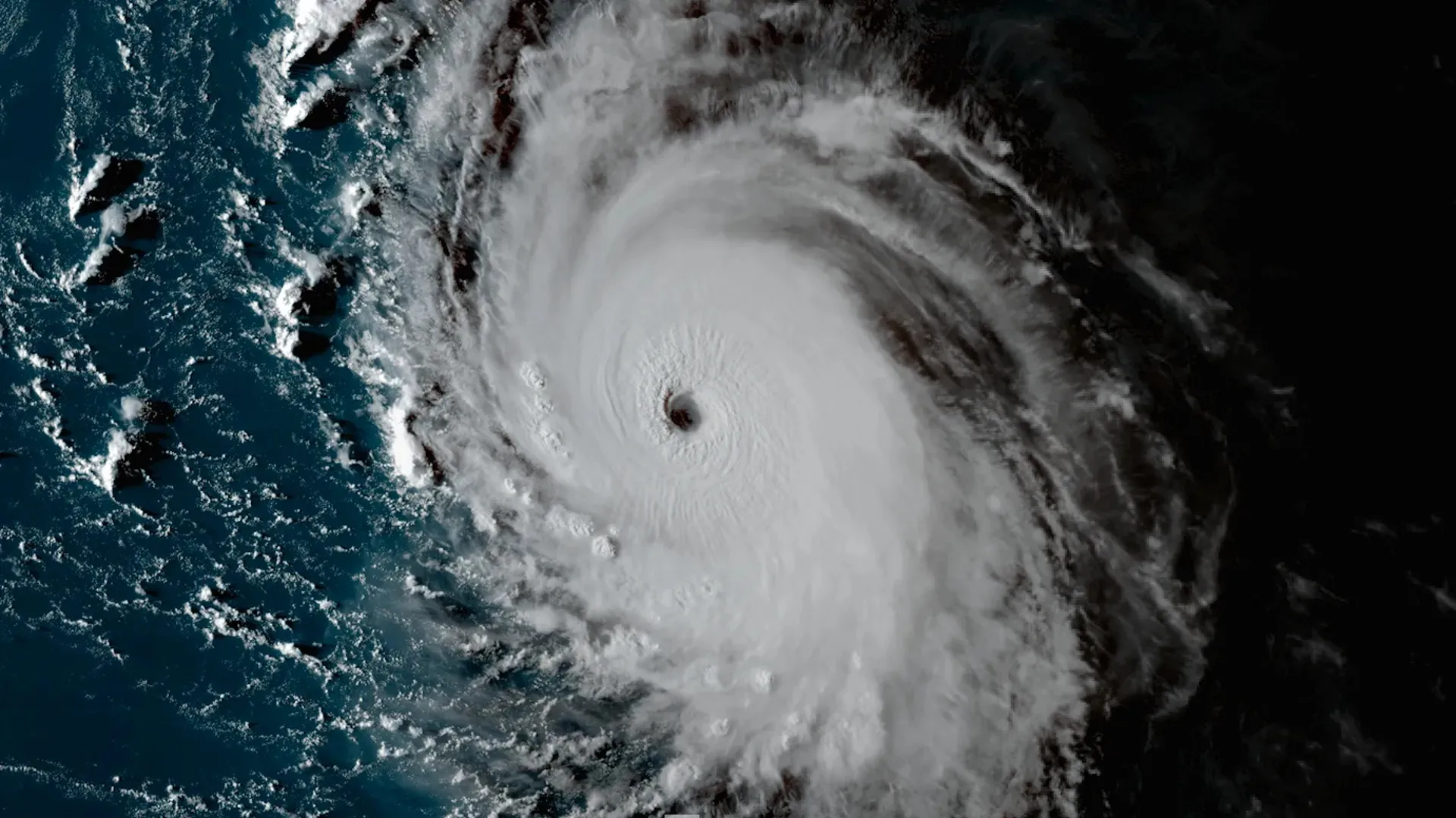
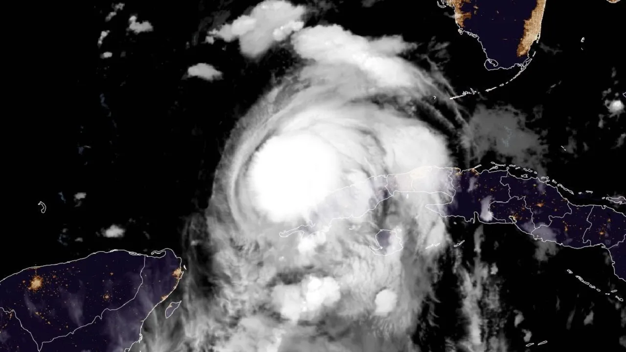
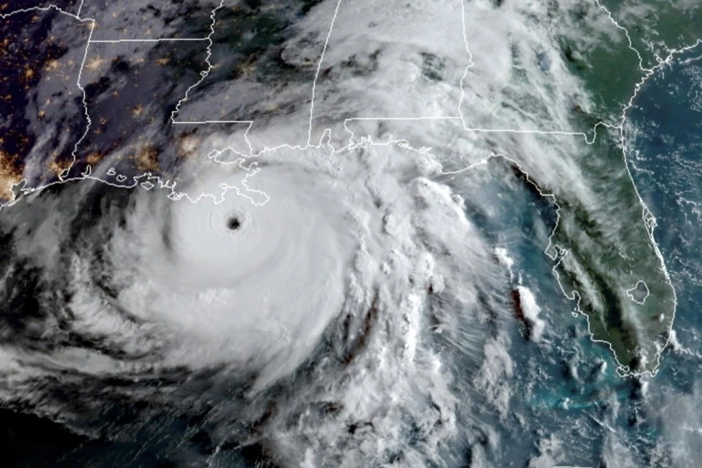
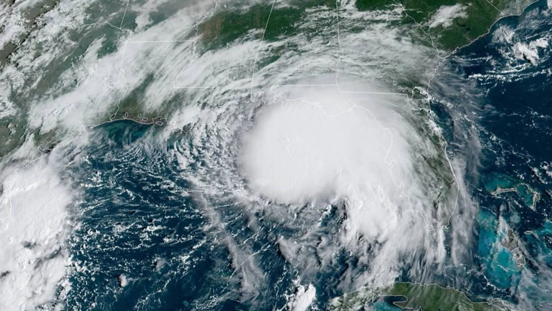
- Category 5 Hurricane Melissa
(2025)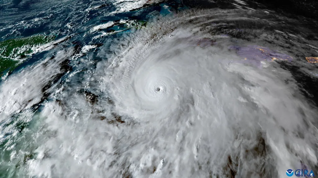
Tropical Basin: Atlantic
Historical Max Winds:
185 MPH (Cat 5) - Tropical Storm Lorenzo
(2025)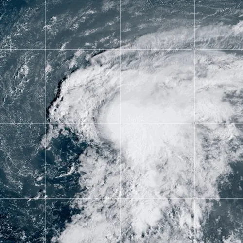
Tropical Basin: Atlantic
Historical Max Winds:
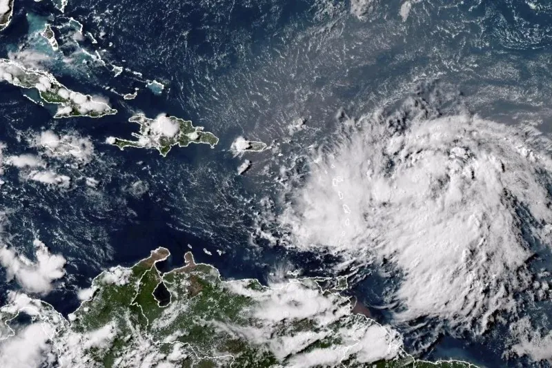
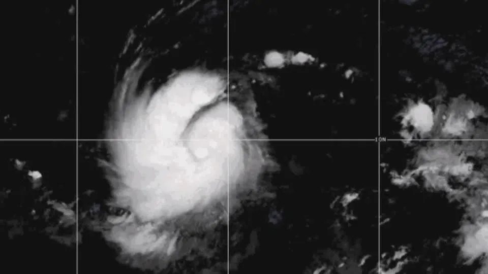
60 MPH (TS) - Tropical Storm Karen
(2025)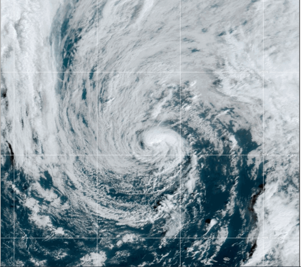
Tropical Basin: Atlantic
Historical Max Winds:
45 MPH (TS) - Tropical Storm Jerry
(2025)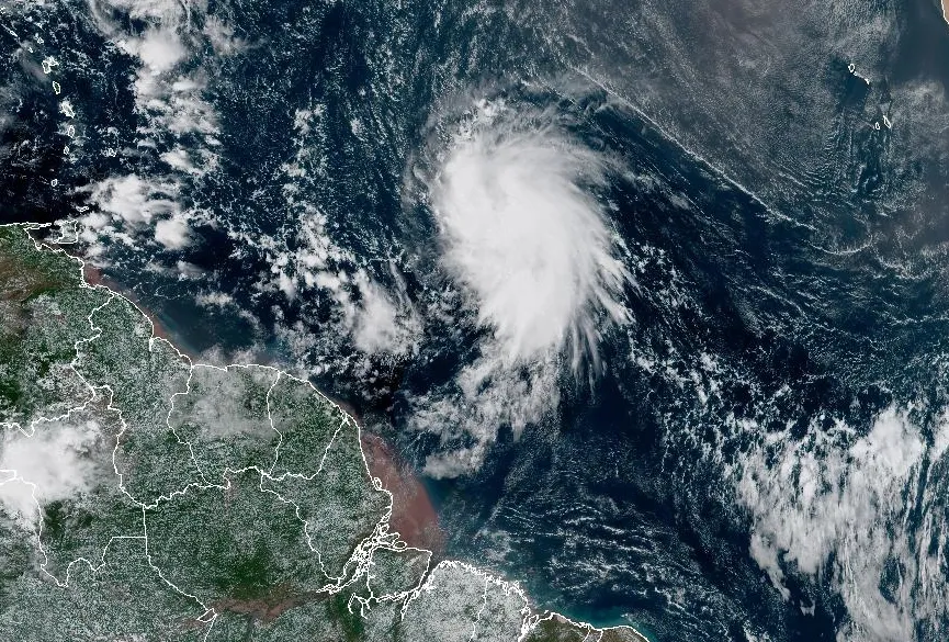
Tropical Basin: Atlantic
Historical Max Winds:
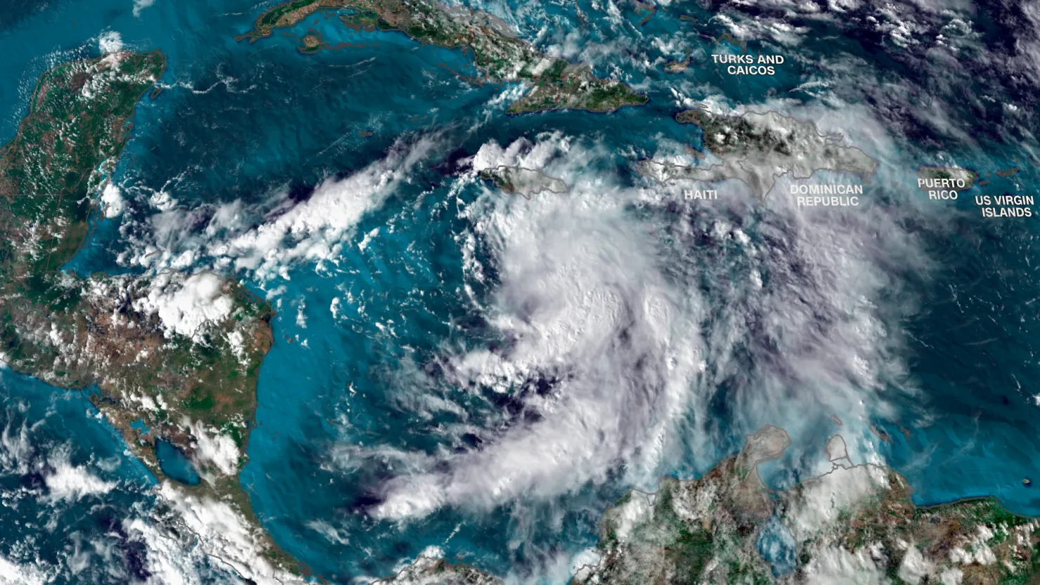
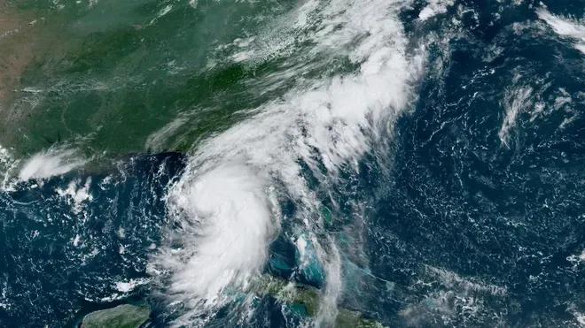
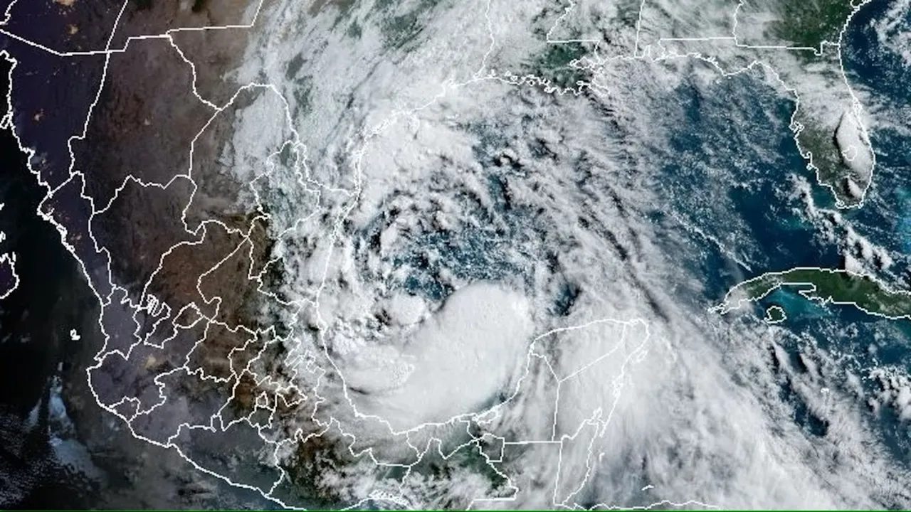
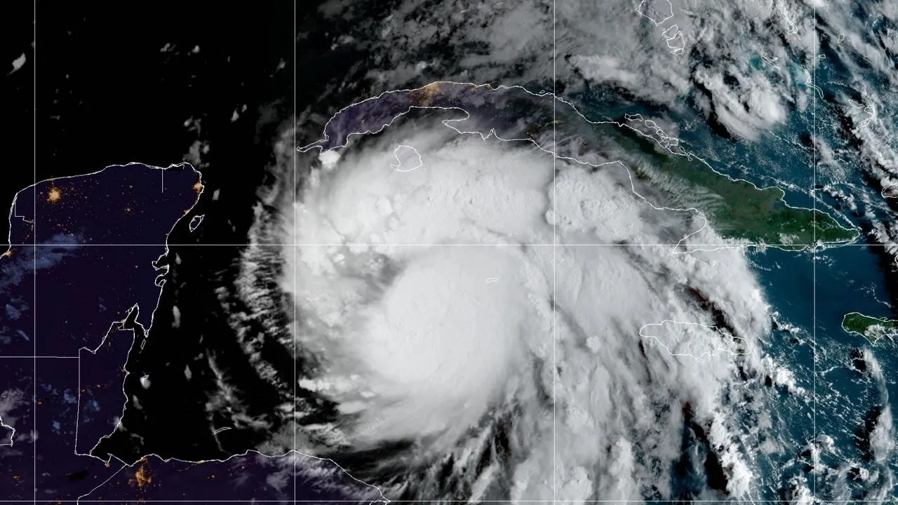
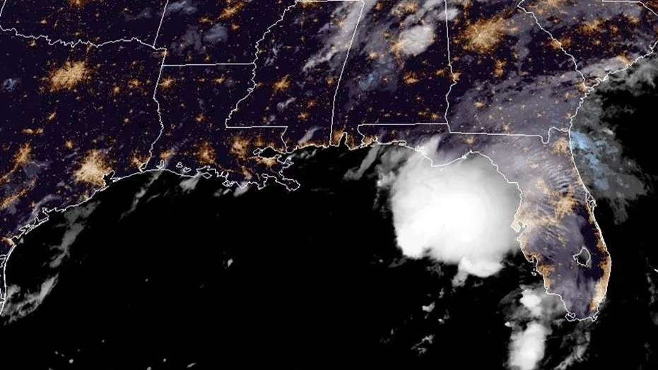
65 MPH (TS) - Category 2 Hurricane Imelda
(2025)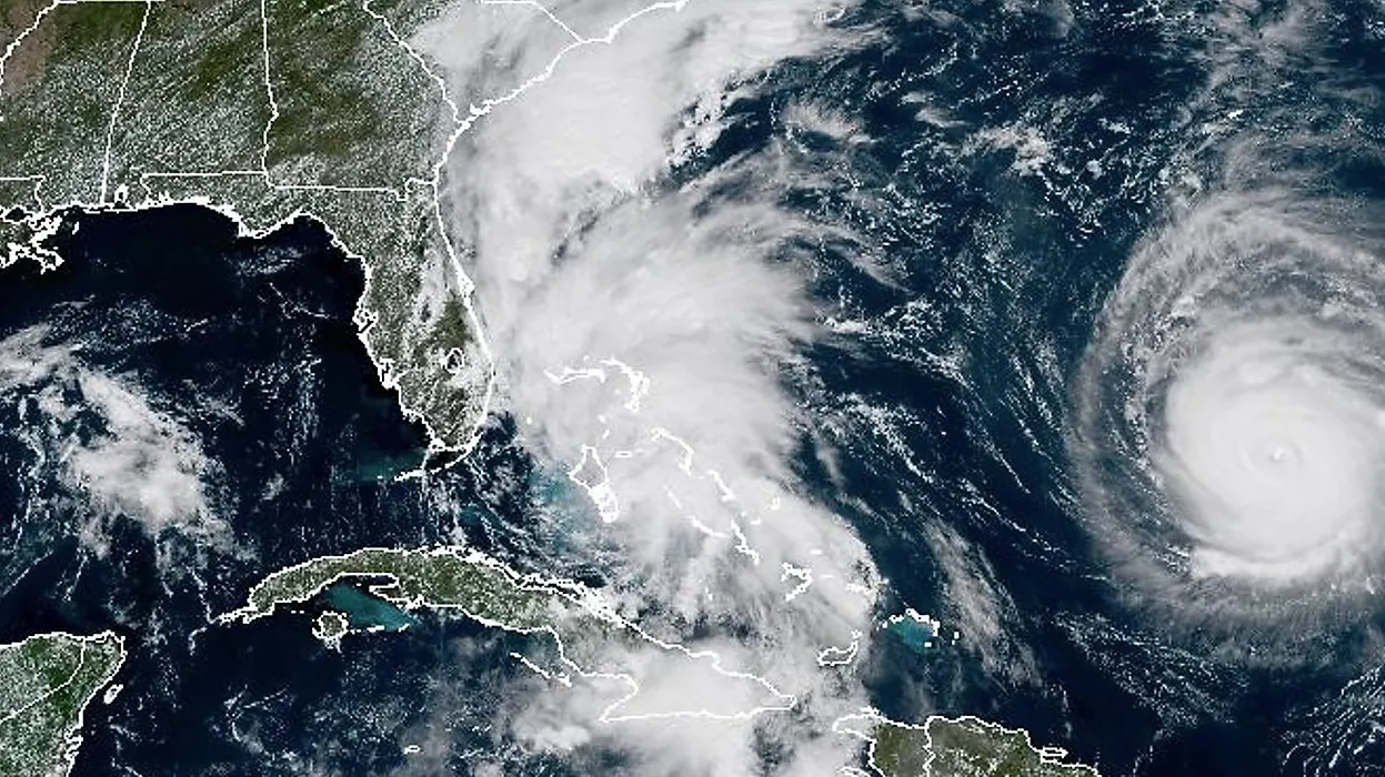
Tropical Basin: Atlantic
Historical Max Winds:
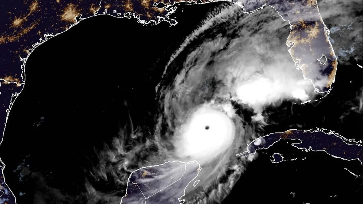
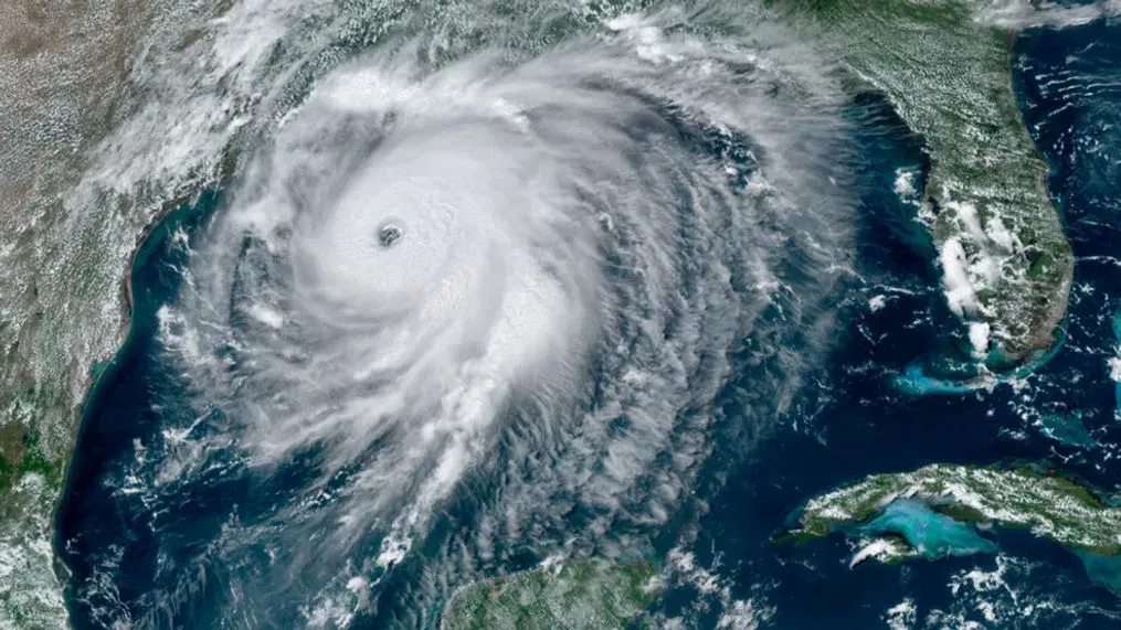
100 MPH (Cat 2) - Category 5 Hurricane Humberto
(2025)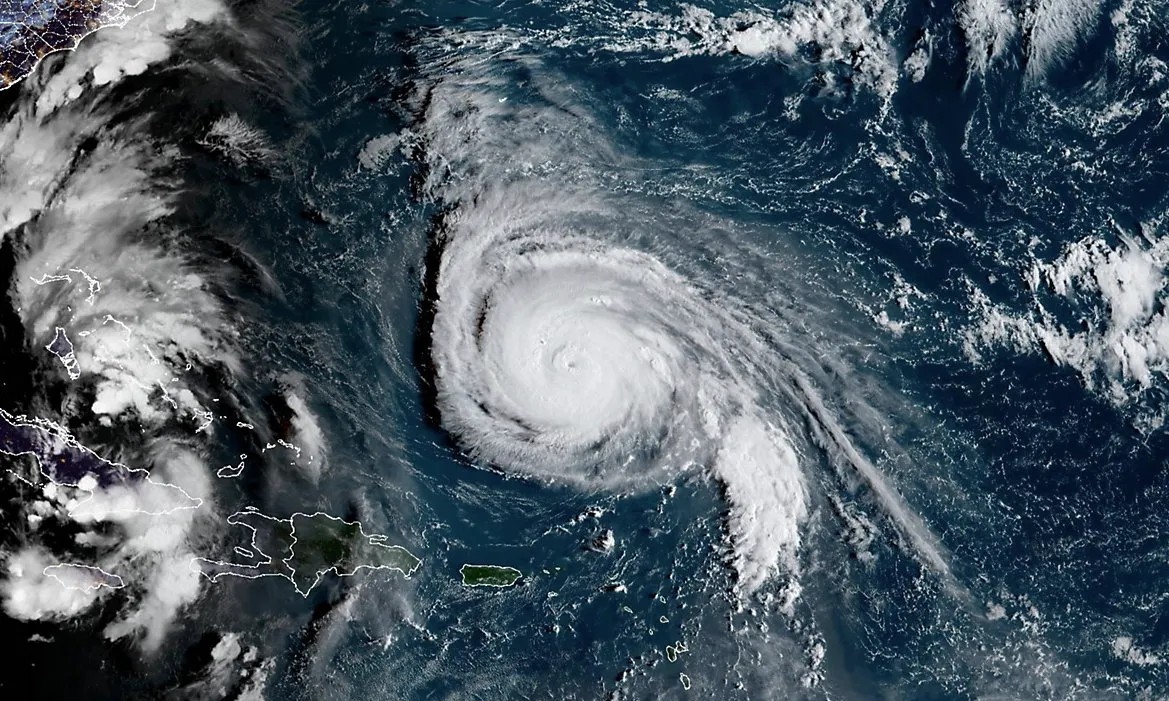
Tropical Basin: Atlantic
Historical Max Winds:
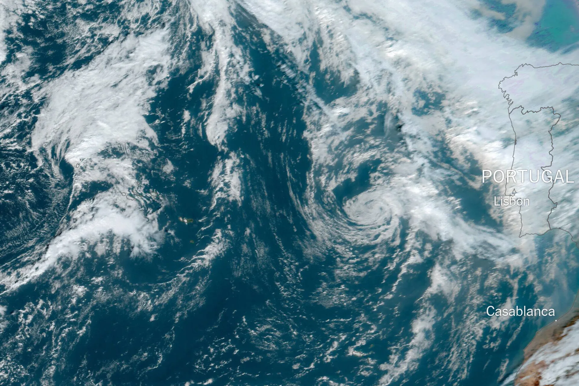
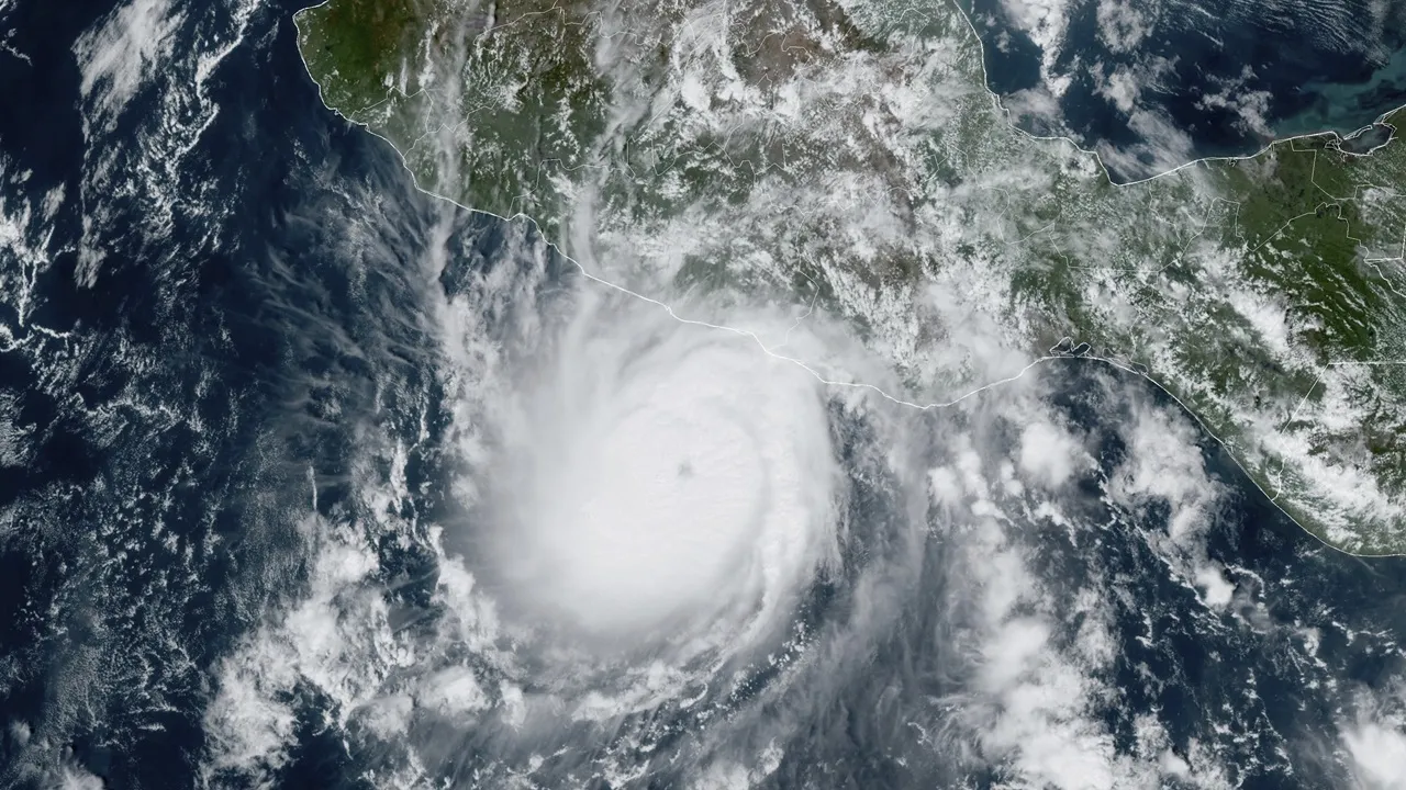
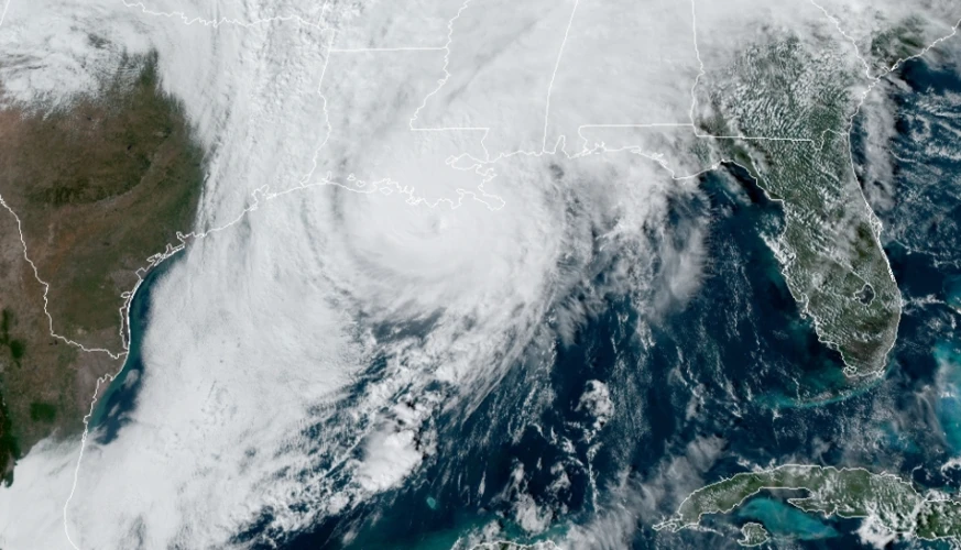
160 MPH (Cat 5) - Category 4 Hurricane Gabrielle
(2025)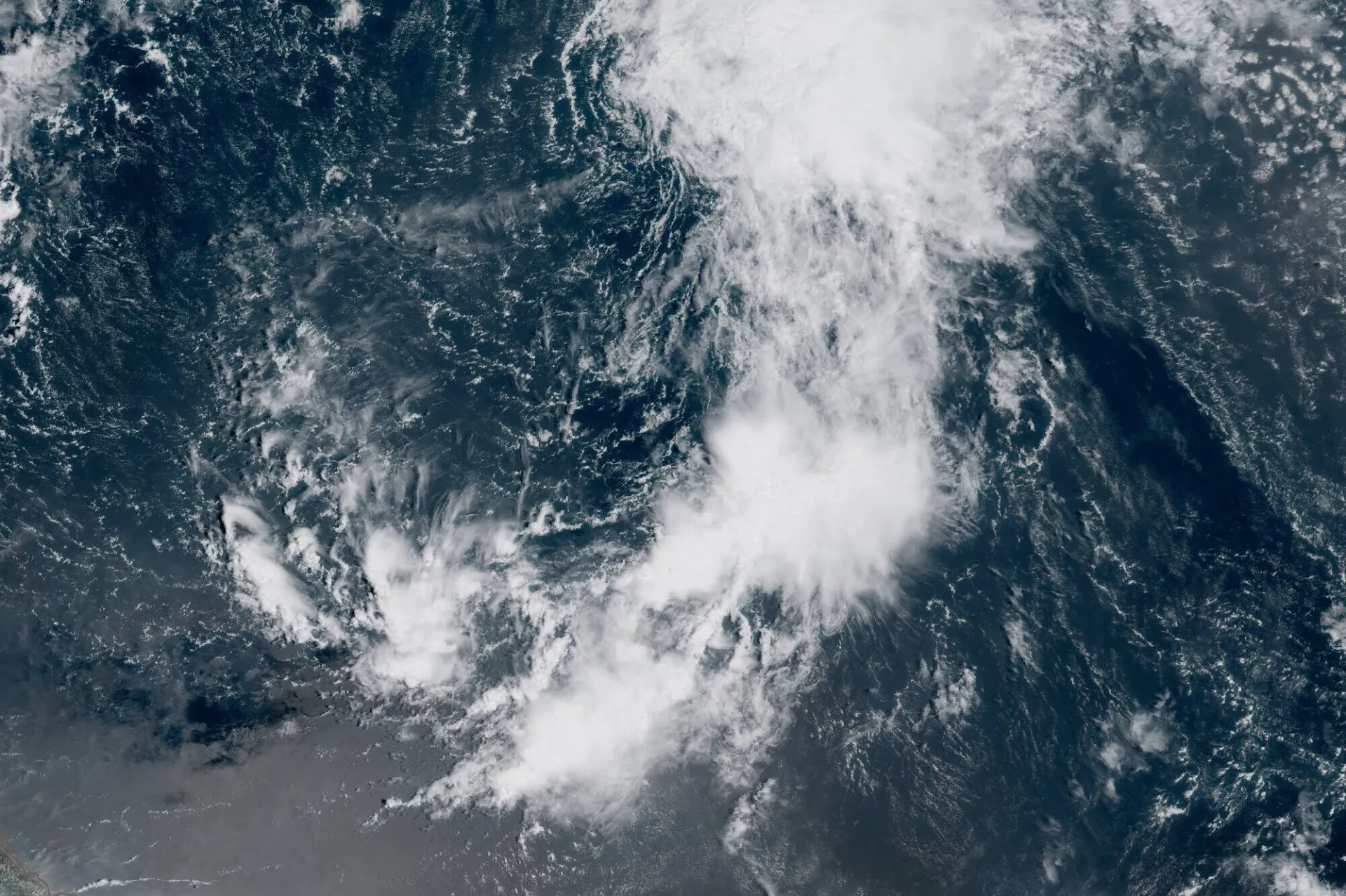
Tropical Basin: Atlantic
Historical Max Winds:
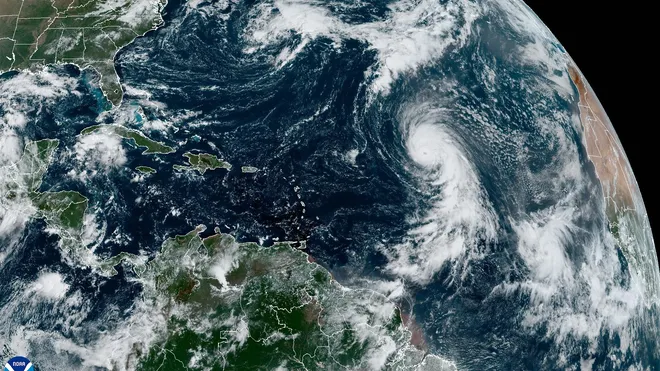
140 MPH (Cat 4) - Tropical Storm Fernand
(2025)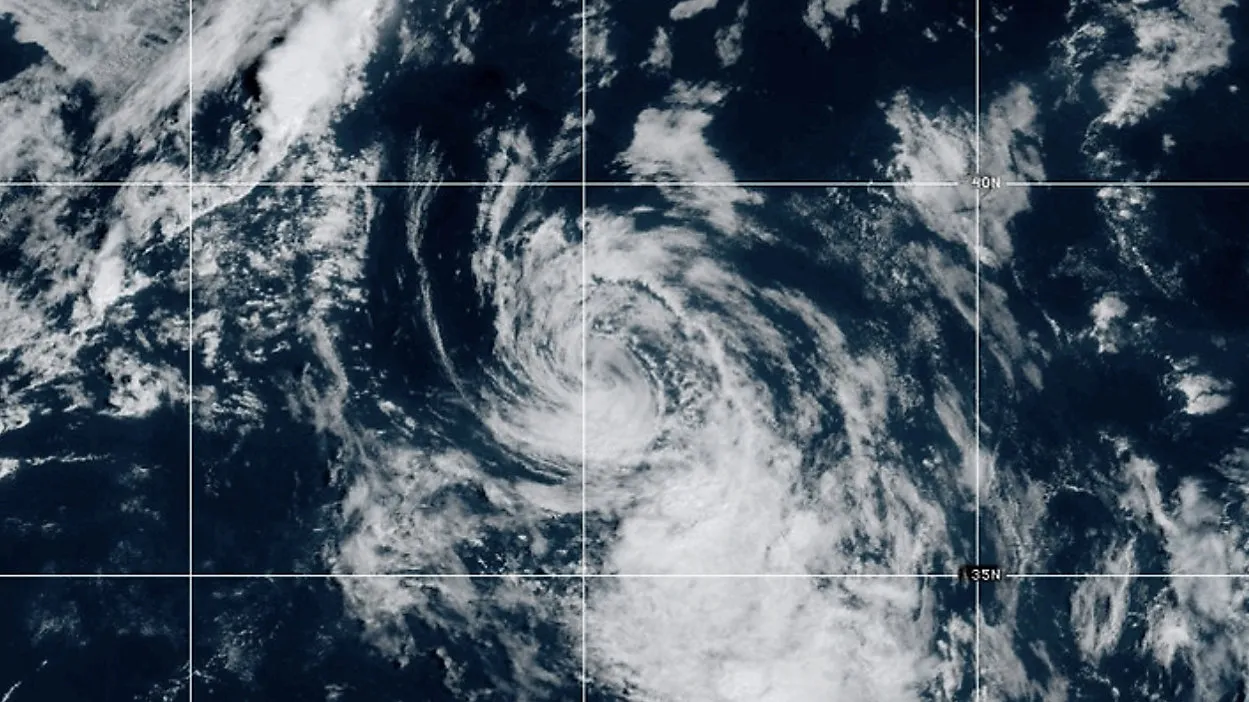
Tropical Basin: Atlantic
Historical Max Winds:
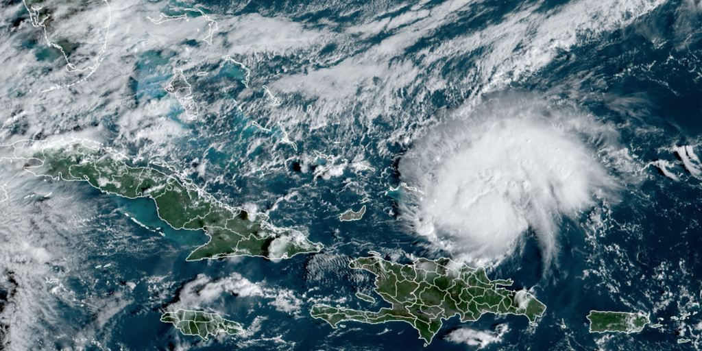
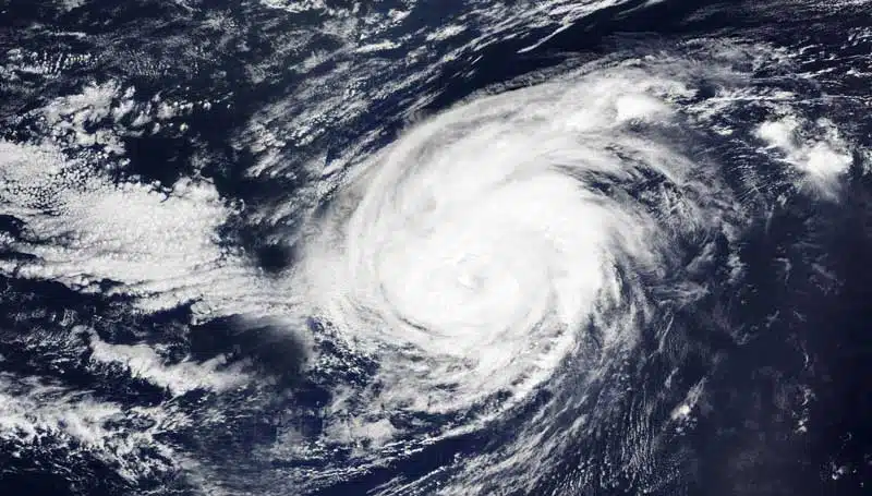
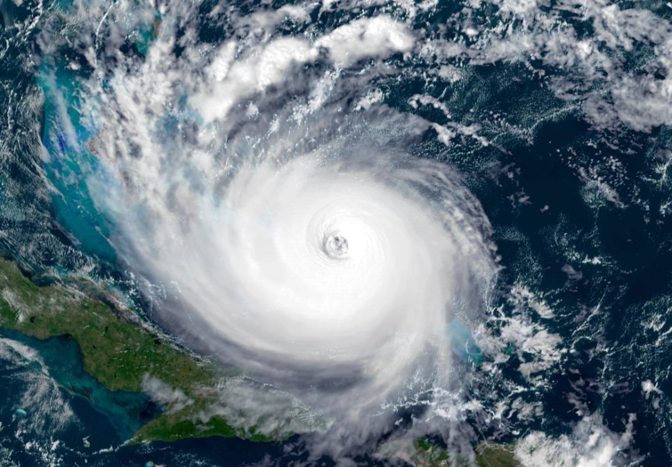
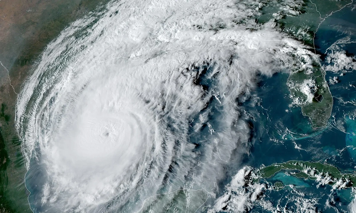
60 MPH (TS) - Category 5 Hurricane Erin
(2025)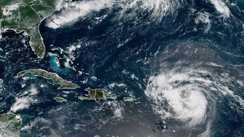
Tropical Basin: Atlantic
Historical Max Winds:
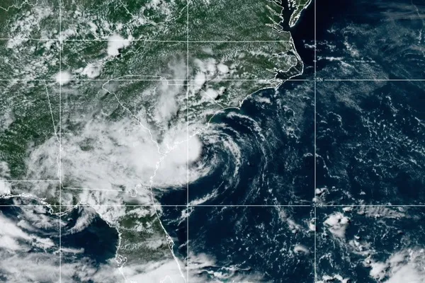
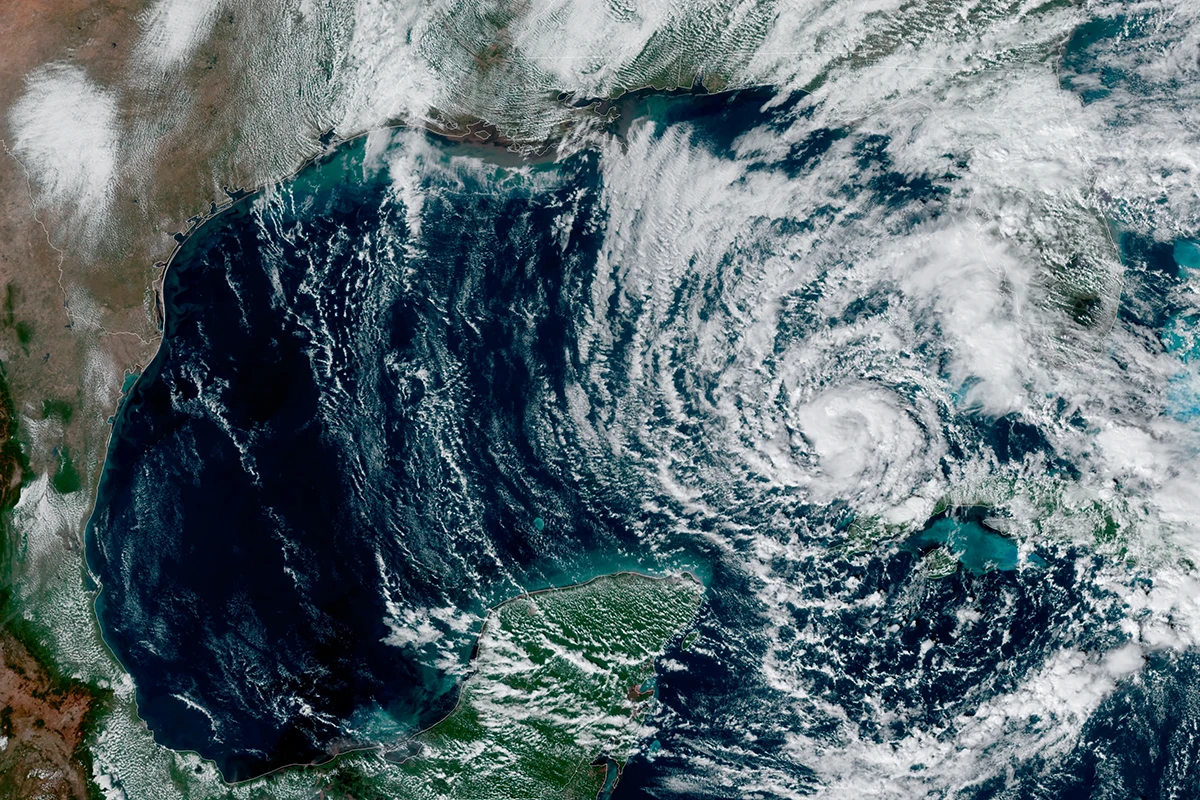
160 MPH (Cat 5) - Tropical Storm Dexter
(2025)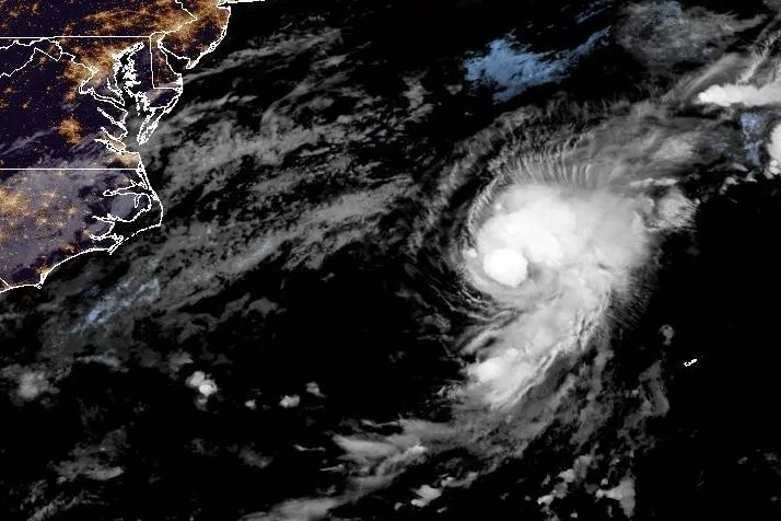
Tropical Basin: Atlantic
Historical Max Winds:
60 MPH (TS) - Tropical Storm Chantal
(2025)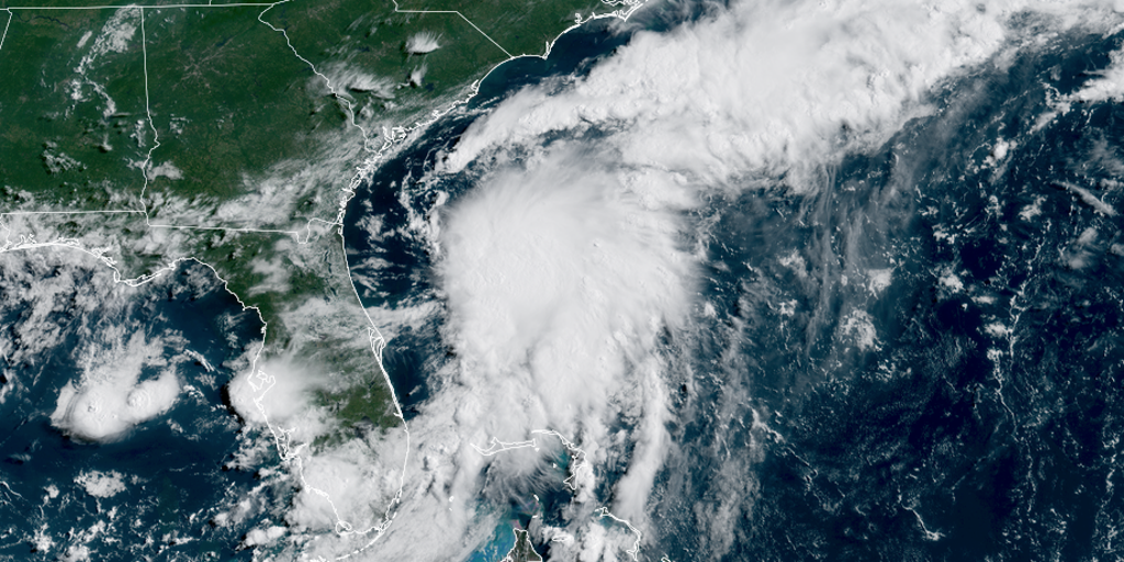
Tropical Basin: Atlantic
Historical Max Winds:
60 MPH (TS) - Tropical Storm Barry
(2025)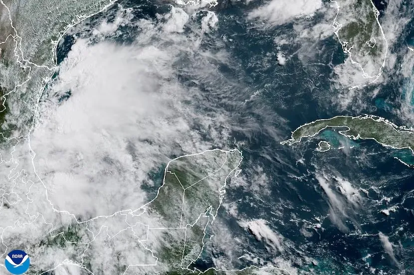
Tropical Basin: Atlantic
Historical Max Winds:
45 MPH (TS) - Tropical Storm Andrea
(2025)
Tropical Basin: Atlantic
Historical Max Winds:
40 MPH (TS)
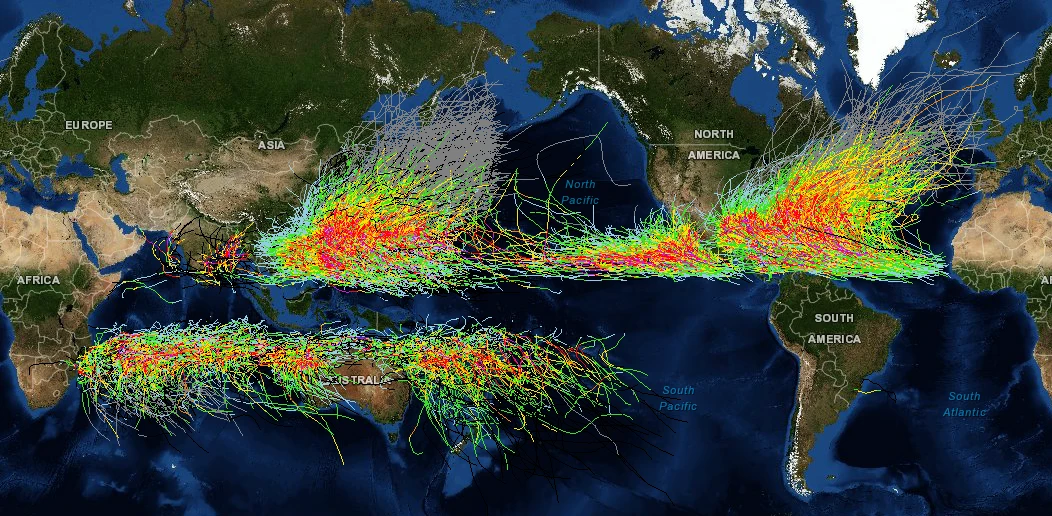
Historical Storm Tracks
Cruising Earth is not an official source for severe weather information. Please refer to your region's official weather service as your primary source for severe weather updates and decision-making to keep you and your family safe.
Check directly with your cruise line for any possible weather related delays or itinerary changes. Many cruise lines will also allow you to sign-up online to receive weather alerts via email or text message pertaining to your specific cruise.