Severe Weather Event Cameras - Cruising Earth
Severe Weather Event Cameras
Severe Weather Event
Severe Weather Event Storm Data
Cruising Earth is not currently tracking any severe weather events. If you believe there is an active severe weather event we should be tracking please report it: Contact Us
Recent Storm Data
Date/Time: -- --:--
Landfall City/State: NA
Location: --°N --°W
Moving: -- at -- mph
Minimum Central Pressure: -- mb
Maximum Sustained Winds: -- mph (--)
Tropical Storm Force Winds Extend Out: -- miles
Weather Event Live Cameras
Live Cameras Within -- Miles Of The Projected Landfall Location
(Cruising Earth is not actively tracking any current severe weather events.)
= Live Streaming Video
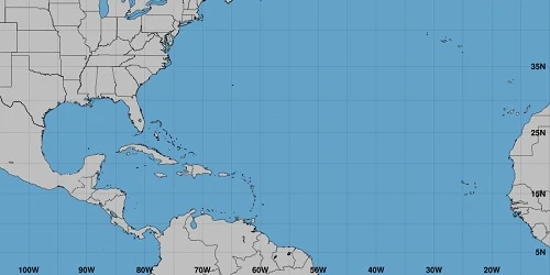
Severe Weather Event Projected Landfall Map
Projected Landfall Location
Landfall City/State: NA
Landfall Location: --°N --°W
Time Of Landfall = -- --:--
Movement At Landfall = -- at -- mph
Landfall occurs when the center of the tropical cyclone moves across the coast.
Zoom In/Out On The Map Above To View Details Of The Projected Landfall Location
Severe Weather Information
Cruising Earth is not an official source for severe weather information. Please use your regions official weather service as your first source for weather information when it comes to severe weather and making decisions to keep you and your family safe.
Severe Weather Event Storm Data
Cruising Earth is not currently tracking any severe weather events. If you believe there is an active severe weather event we should be tracking please report it: Contact Us
Recent Storm Data
Date/Time: -- --:-- Landfall City/State: NA Location: --°N --°W Moving: -- at -- mph Minimum Central Pressure: -- mb Maximum Sustained Winds: -- mph (--) Tropical Storm Force Winds Extend Out: -- miles
Date/Time: -- --:-- Landfall City/State: NA Location: --°N --°W Moving: -- at -- mph Minimum Central Pressure: -- mb Maximum Sustained Winds: -- mph (--) Tropical Storm Force Winds Extend Out: -- miles
Weather Event Live Cameras
Live Cameras Within -- Miles Of The Projected Landfall Location
(Cruising Earth is not actively tracking any current severe weather events.)
= Live Streaming Video
Severe Weather Event Projected Landfall Map
Projected Landfall Location
Landfall City/State: NA
Landfall Location: --°N --°W
Time Of Landfall = -- --:--
Movement At Landfall = -- at -- mph
Landfall occurs when the center of the tropical cyclone moves across the coast.
Zoom In/Out On The Map Above To View Details Of The Projected Landfall Location
Cruising Earth is not an official source for severe weather information. Please use your regions official weather service as your first source for weather information when it comes to severe weather and making decisions to keep you and your family safe.
Weather Related Cruise Delays & Itinerary Changes
Check directly with your cruise line for any possible weather related delays or itinerary changes. Many cruise lines will also allow you to sign-up online to receive weather alerts via email or text message pertaining to your specific cruise.
Check directly with your cruise line for any possible weather related delays or itinerary changes. Many cruise lines will also allow you to sign-up online to receive weather alerts via email or text message pertaining to your specific cruise.