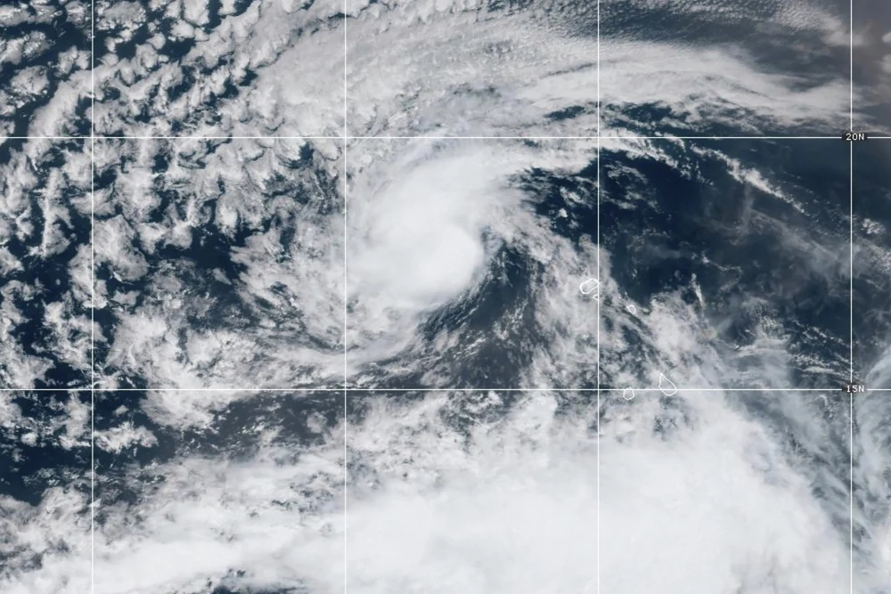
Category 5 Hurricane Erin is currently making it closest expected approach to the Caribbean. Currently packing winds of 160+ mph, with tropical storm force winds stretching out 140 miles from the eye. The intense storm is expected to remain well offshore with minimal impacts to the Caribbean and Bahamas along its path.
Track the progress and view the impact of Category 5 Hurricane Erin through live web cameras right here on Cruising Earth.
Hurricane Erin Live Storm Tracking & Data
Track Hurricane Erin in real-time with the latest storm data, forecasts, satellite imagery, and impact updates. Follow Erin's projected path, wind speeds, and storm surge risks to stay informed on developments and potential effects.
Hurricane Erin Live Cameras
Track and watch Hurricane Erin live with real-time streaming cameras from impacted areas. Monitor storm conditions, view coastal impacts, and follow Erin's path with up-to-the-minute footage from key locations right up to landfall.